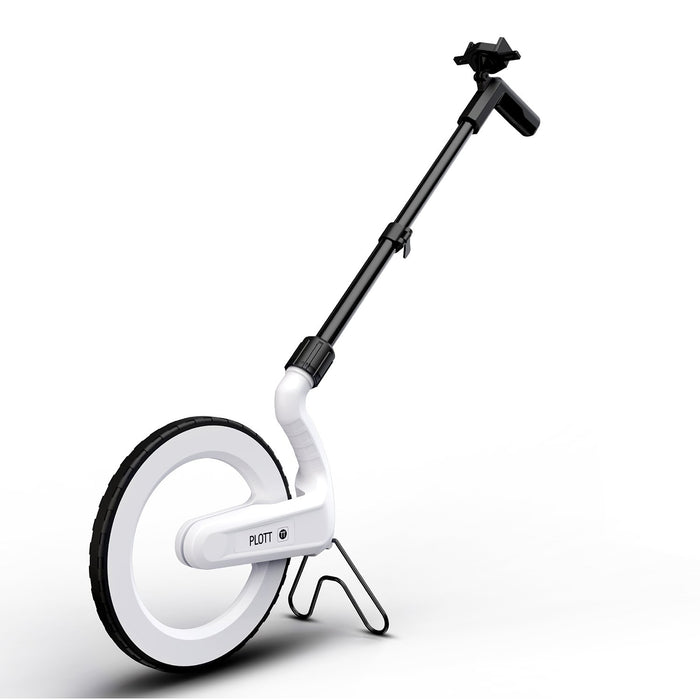
Skip to content
Enjoy fast and free shipping on all orders over $89! Contact us (855) 424-4376

Language

Create a Control Center for Your Entire Project on Your Phone

Carta and our platform enables users to bring dimensional data into a phone while recording the path you walked over a 2D image such as a map or satellite image


  • The only digital measuring wheel that will map and measure distance, perimeter, and area right to your smartphone in real time

  • Draw blueprints over satellite images for any outdoor project

  • Save important notes, images, and videos for later use

Save time, money, and headaches by eliminating the need to do complex math on the job. Carta is the first digital measuring wheel to virtually map blueprints of outdoor spaces with measurements in real time straight to your smart phone. Easily calculate distance, perimeter, and area by simply wheeling Carta around the space. Save important notes, images, and videos on any project to use later or share with others for fast collaboration. After mapping out a blueprint use Carta’s guide mode to revisit selected marks.
  • The only digital measuring wheel that will map and measure distance, perimeter, and area right to your smartphone in real time

  • Draw blueprints over satellite images for any outdoor project

  • Save important notes, images, and videos for later use

  • Easily share projects files to other team members for quick collaborations

  • Durable - IP54 industry grade for protection against dust, moisture and water splashes

  • Lightweight

  • Easily foldable kickstand and sliding pole for storage and use

  • Measures in feet, inches, yards or meters

Maximum Distance (Feet)
1000000
Display Type
Digital
Series Name
Carta Bluetooth Mapping

Features & Functions

Background

Take or select a picture for scale and context

Mark

Record a measurement and mark points on your project

Start

Begin measuring

Paths Menu

Gives you options to manage your paths

Share

Send a Plott file of your design to others

Notes

Press and hold the screen to add notes

Plott's Carta allows you to visually plan in either map or picture format


Selecting a path will give the option to Navigate to your marked

points from a known starting point


Maximum Distance (Feet) 1000000
Display Type Digital
Series Name Carta Bluetooth Mapping

Blog posts

Compare products

{"one"=>"Select 2 or 3 items to compare", "other"=>"{{ count }} of 3 items selected"}

Select first item to compare

Select second item to compare

Select third item to compare

Compare